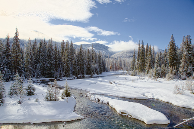
Spent last night in the Yakima area, and planned to drive Hwy 410 toward Mt Rainier. I knew the road was closed and that I would not be able to get all the way to the Mountain, but I wanted to see how much of the road was open and hopefully get a view of Mt Rainier from the east.
The road was closed at N 46 54.3826 W 121 25.5629: you can plug these coordinates into Google Earth (or Google search) to follow along if you like. There was no view of the Mountain from that location, so I snowshoed about a half mile west: still no hope of seeing the mountain. But that was not a problem: most of the clouds had cleared, the sky was blue, and everything was covered with a fresh layer of snow (approx 6″ fell last night).
I found myself shooting toward the sun a lot, and the dynamic range was just too much, making it almost impossible to get a decent exposure of the clouds. It was clearing clouds with bright sun: beautiful, but difficult to capture. I think I still got some really good ones, but was somewhat disappointed at what I saw but could not capture. I should not say that: I was blown away by the beauty of the scenes and was really excited about what I was able to shoot. I shot hundreds of photos, and got at least 9 that will make cards and posters.
Photo above is the American River: N 46 56.7860 W 121 19.3030


No comments yet.